
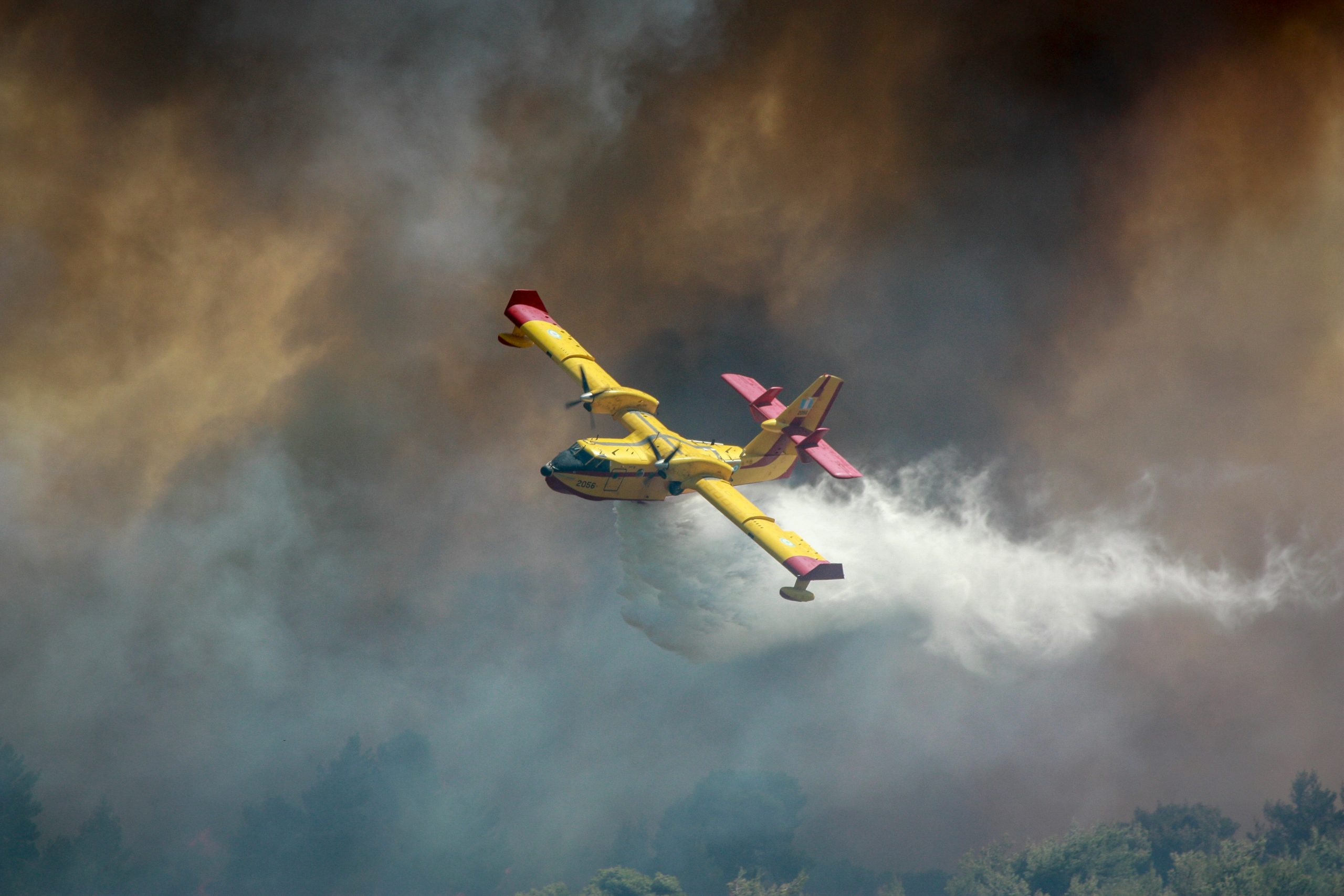
17 Mar South Africa’s wildfire risk revealed in shocking report
- Authorities in South Africa are warning of a heightened wildfire risk
- Forecasts point to a 24–72-hour period of extreme heat and dangerous fire conditions
- The alert covers large areas of the Northern Cape, Eastern Cape and Western Cape
Authorities in South Africa are warning of a heightened wildfire risk as forecasts point to a 24–72-hour period of extreme heat and dangerous fire conditions beginning on 11 March across several provinces.
Meteorological assessments indicate that dry vegetation, strong winds and low humidity levels could significantly increase the likelihood of multiple wildfire ignition points, raising concerns for rural communities, agriculture and critical infrastructure.
The alert covers large areas of the Northern Cape, Eastern Cape and Western Cape, regions that frequently experience seasonal wildfire activity during periods of intense heat and prolonged dry weather.
Officials say the current conditions could allow veld and fynbos fires to spread rapidly across grasslands and semi-arid landscapes, particularly if strong winds develop.
Authorities have urged residents and businesses to avoid open flames and prepare for possible emergency responses as temperatures rise. The risk level has been classified as severe, reflecting the potential for fast-moving fires that could threaten farms, rural settlements and conservation areas.
Several well-known areas have been identified as particularly vulnerable should fires break out. These include Table Mountain National Park and surrounding fynbos ecosystems, as well as the Cape Winelands, including Stellenbosch and Franschhoek.
The Garden Route, particularly the towns of Knysna and George, could also face elevated danger due to dense vegetation and warm conditions. Rural areas across the Karoo and surrounding semi-arid veld landscapes are also considered highly susceptible to rapidly spreading fires.
Transport and public services could also be affected if fires develop. Smoke from wildfires can reduce visibility along major road corridors such as the N1 and N2 highways, potentially leading to traffic restrictions or temporary closures while firefighting operations are underway.
Regional air travel could also face delays if smoke affects visibility near facilities such as George Airport. Businesses dependent on road logistics or agricultural operations may experience disruption if transport routes become restricted or unsafe.
Critical infrastructure could also face risks if fires damage electricity distribution lines, transformer stations or telecommunications networks.
Such incidents could result in localised power or communications outages lasting several hours or longer, particularly in rural areas where infrastructure passes through vegetation-dense terrain.
Authorities are advising immediate precautions, including suspending non-essential outdoor activities involving open flames, securing flammable materials and ensuring that fire suppression equipment is accessible.
Organisations operating in high-risk areas are also being encouraged to implement fire-watch protocols, monitor official weather alerts and review contingency plans to ensure supply chains and operations can continue during potential wildfire incidents.
The situation highlights the importance of environmental risk analysis in assessing how extreme weather events may affect communities, infrastructure and economic activity.
By identifying high-risk zones and monitoring weather conditions, authorities and businesses can better anticipate disruption and implement mitigation strategies before incidents escalate.
Looking ahead, experts warn that rising temperatures and more frequent heatwaves could intensify wildfire seasons in parts of southern Africa.
Sorry, the comment form is closed at this time.